- Kranjska Gora
- 4 h / etapa
- More info
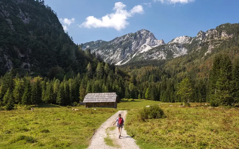
A hiker in the Krnica Valley, Kranjska Gora, photo by Jošt Gantar, source: www.slovenia.info
The leaflet gives you all the information you need about the huts, the routes, opening times and public transport options. You can walk the 40 km route in four stages from Kranjska Gora, or you can spend two nights in the huts and complete the route in three days. There is a space on the back of the leaflet for stamps, which the youngest hikers will enjoy the most. The leaflet is available at tourist information centres, chalets and agencies in Kranjska Gora.
Kranjska Gora (810 m) – Srednji Vrh (Krmiše log cabin) – Gozd Martuljek (Ingo log cabin) – Jasna (827 m) – Vršič (1611 m above sea level) – Sleme’s Spit (1909 m) – Planica – Mojčin dom na Vitrancu – Kranjska Gora (810 m)


